Near the site of Meole Brace Station
Introduction
The photograph on this page of Near the site of Meole Brace Station by John Lucas as part of the Geograph project.
The Geograph project started in 2005 with the aim of publishing, organising and preserving representative images for every square kilometre of Great Britain, Ireland and the Isle of Man.

There are currently over 7.5m images from over 14,400 individuals and you can help contribute to the project by visiting https://www.geograph.org.uk
Near the site of Meole Brace Station
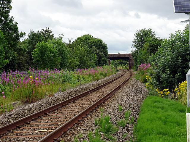
Image: © John Lucas Taken: 25 Jul 2016
A wider view compared to Image The route of the Shropshire & Montgomeryshire Railway is on the far left, obscured by the undergrowth. Meole Brace station was situated mostly under the overbridge, also obscured by the undergrowth and trees.
Images are licensed for reuse under creativecommons.org/licenses/by-sa/2.0
Image Location
Latitude
52.691505
Longitude
-2.766204