Building site entrance, Hurricane Way
Introduction
The photograph on this page of Building site entrance, Hurricane Way by John Baker as part of the Geograph project.
The Geograph project started in 2005 with the aim of publishing, organising and preserving representative images for every square kilometre of Great Britain, Ireland and the Isle of Man.

There are currently over 7.5m images from over 14,400 individuals and you can help contribute to the project by visiting https://www.geograph.org.uk
Building site entrance, Hurricane Way
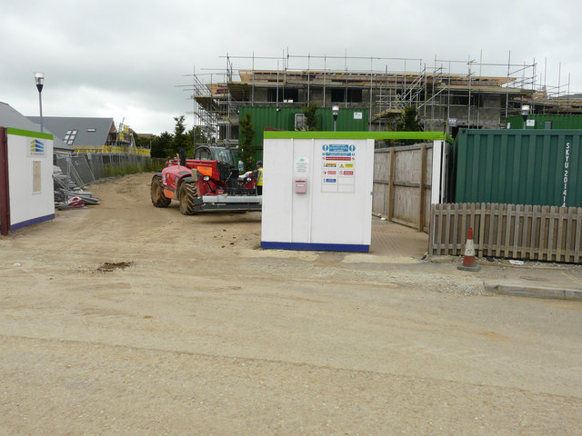
Image: © John Baker Taken: 8 Jul 2016
Compared with Image, the erection of buildings beyond continues. Planning permission has been approved, with conditions, by Folkestone and Hythe District Council under application number 14/0341/SH for the “erection of 21 dwellings (class C3) together with associated access and landscaping”. The location was given as “land at Hurricane Way, Hawkinge, Kent”.
Images are licensed for reuse under creativecommons.org/licenses/by-sa/2.0
Image Location
Latitude
51.110007
Longitude
1.159136