Approach to Deblins Green junction on A449
Introduction
The photograph on this page of Approach to Deblins Green junction on A449 by Clint Mann as part of the Geograph project.
The Geograph project started in 2005 with the aim of publishing, organising and preserving representative images for every square kilometre of Great Britain, Ireland and the Isle of Man.

There are currently over 7.5m images from over 14,400 individuals and you can help contribute to the project by visiting https://www.geograph.org.uk
Approach to Deblins Green junction on A449
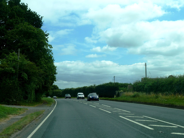
Image: © Clint Mann Taken: 18 Jul 2016
This is where "Worcester Road" becomes "Malvern Road". The road to the right (just visible) leads to an Animal Rescue Shelter.
Images are licensed for reuse under creativecommons.org/licenses/by-sa/2.0
Image Location


Leaflet Map data © OpenStreetMap
Latitude
52.148755
Longitude
-2.283332