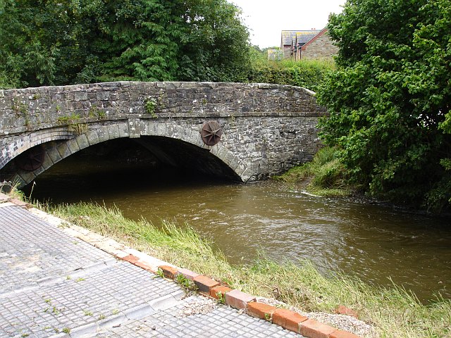
Bridge at Bettws Cedewain
Introduction
The photograph on this page of Bridge at Bettws Cedewain by Penny Mayes as part of the Geograph project.
The Geograph project started in 2005 with the aim of publishing, organising and preserving representative images for every square kilometre of Great Britain, Ireland and the Isle of Man.
There are currently over 7.5m images from over 14,400 individuals and you can help contribute to the project by visiting https://www.geograph.org.uk

Image: © Penny Mayes Taken: 24 Jul 2007
The road bridge over Bechan Brook (Bechan meaning small or puny) still showing high water levels two days after the flood. The terrace in the foreground is opposite the New Inn who must have been pleased that their choice of cast iron patio furniture had not been swept away. There were bar towels and a concrete toadstool on the river bank. See Neil Summers' pics taken the day of the flood http://www.geograph.org.uk/search.php?i=75081220&displayclass=bigger

