Byerley House farm from the south
Introduction
The photograph on this page of Byerley House farm from the south by Robert Graham as part of the Geograph project.
The Geograph project started in 2005 with the aim of publishing, organising and preserving representative images for every square kilometre of Great Britain, Ireland and the Isle of Man.

There are currently over 7.5m images from over 14,400 individuals and you can help contribute to the project by visiting https://www.geograph.org.uk
Byerley House farm from the south
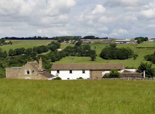
Image: © Robert Graham Taken: 13 Jul 2016
View looking south from Byerleyhouse Lane. Nice view of the farming hamlet of West Butsfield across the other side of the valley.
Images are licensed for reuse under creativecommons.org/licenses/by-sa/2.0
Image Location


Leaflet Map data © OpenStreetMap
Latitude
54.790328
Longitude
-1.832793