Floodgates House
Introduction
The photograph on this page of Floodgates House by Simon Carey as part of the Geograph project.
The Geograph project started in 2005 with the aim of publishing, organising and preserving representative images for every square kilometre of Great Britain, Ireland and the Isle of Man.

There are currently over 7.5m images from over 14,400 individuals and you can help contribute to the project by visiting https://www.geograph.org.uk
Floodgates House
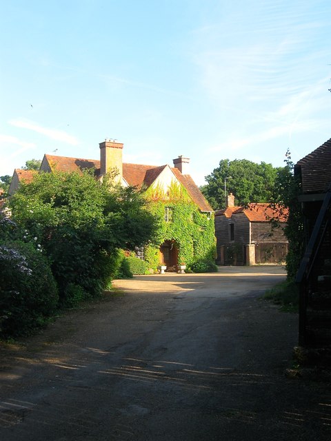
Image: © Simon Carey Taken: 23 Jul 2016
A former farmhouse, possibly dating from the 18th century, built on the site of a former 17th century iron furnace. Part of the Knepp estate. The timber barn to the right has now been converted into a couple of dwellings.
Images are licensed for reuse under creativecommons.org/licenses/by-sa/2.0
Image Location
Latitude
50.978118
Longitude
-0.344883