The A6096 east of Cotmanhay
Introduction
The photograph on this page of The A6096 east of Cotmanhay by David Lally as part of the Geograph project.
The Geograph project started in 2005 with the aim of publishing, organising and preserving representative images for every square kilometre of Great Britain, Ireland and the Isle of Man.

There are currently over 7.5m images from over 14,400 individuals and you can help contribute to the project by visiting https://www.geograph.org.uk
The A6096 east of Cotmanhay
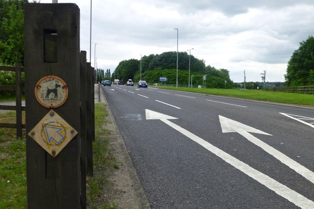
Image: © David Lally Taken: 24 Jul 2016
The arrow markings are for a right turn here onto Awsworth Road. The posts protect a pedestrian crossing for people following that route between Cotmanhay and Awsworth
Images are licensed for reuse under creativecommons.org/licenses/by-sa/2.0
Image Location
Latitude
52.986458
Longitude
-1.291811