Mill Plat
Introduction
The photograph on this page of Mill Plat by Simon Carey as part of the Geograph project.
The Geograph project started in 2005 with the aim of publishing, organising and preserving representative images for every square kilometre of Great Britain, Ireland and the Isle of Man.

There are currently over 7.5m images from over 14,400 individuals and you can help contribute to the project by visiting https://www.geograph.org.uk
Mill Plat
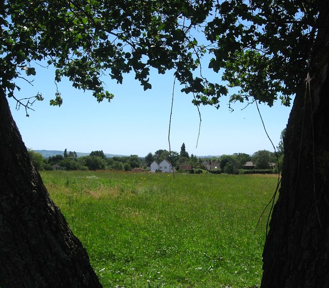
Image: © Simon Carey Taken: 19 Jul 2016
The name of the field according to West Grinstead's 1841 tithe map that is located to the south of Image At the far end is the rear view of Image Jolesfield Windmill stood in the north east corner of the field out of shot to the left. It was built in 1788, operated until around 1909 and was demolished in 1959 with only the brick base surviving.
Images are licensed for reuse under creativecommons.org/licenses/by-sa/2.0
Image Location
Latitude
50.971173
Longitude
-0.305819