Looking toward Church Lane
Introduction
The photograph on this page of Looking toward Church Lane by Bob Harvey as part of the Geograph project.
The Geograph project started in 2005 with the aim of publishing, organising and preserving representative images for every square kilometre of Great Britain, Ireland and the Isle of Man.

There are currently over 7.5m images from over 14,400 individuals and you can help contribute to the project by visiting https://www.geograph.org.uk
Looking toward Church Lane
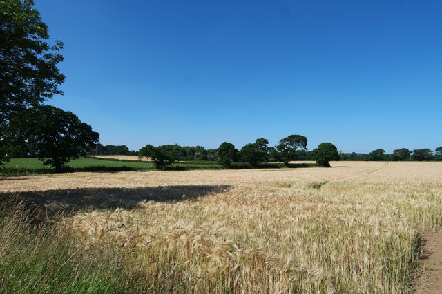
Image: © Bob Harvey Taken: 19 Jul 2016
Nunthorpe is mostly to the west of the A172 road, but a cluster of superior houses and the church lie on the east, on slightly rising ground. In the centre of this shot is the Red House, seen in Image
Images are licensed for reuse under creativecommons.org/licenses/by-sa/2.0
Image Location
Latitude
54.519305
Longitude
-1.164216