Throop: the shadow of a wall on footpath K26
Introduction
The photograph on this page of Throop: the shadow of a wall on footpath K26 by Chris Downer as part of the Geograph project.
The Geograph project started in 2005 with the aim of publishing, organising and preserving representative images for every square kilometre of Great Britain, Ireland and the Isle of Man.

There are currently over 7.5m images from over 14,400 individuals and you can help contribute to the project by visiting https://www.geograph.org.uk
Throop: the shadow of a wall on footpath K26
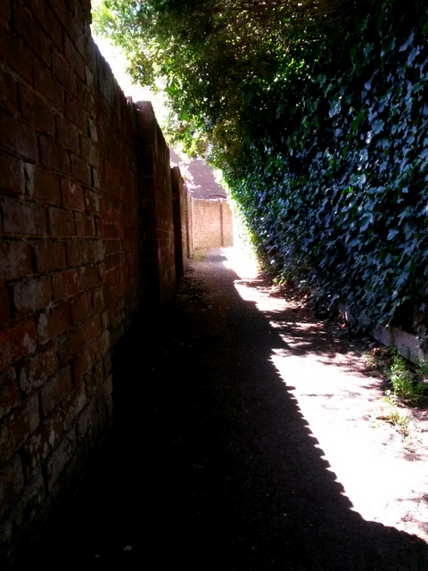
Image: © Chris Downer Taken: 16 Jul 2016
Looking westward along this public footpath towards Willow Mead. The time of day means that we have a narrow shaft of light along the course of the path, between the shadow of the left-hand wall and under cover of the overhanging hedge on the right. See Image for the next view on the path ahead, and Image for the next behind us - each with links to further photos on the route.
Images are licensed for reuse under creativecommons.org/licenses/by-sa/2.0
Image Location
Latitude
50.762952
Longitude
-1.847669