West Howe: the start of footpath U42
Introduction
The photograph on this page of West Howe: the start of footpath U42 by Chris Downer as part of the Geograph project.
The Geograph project started in 2005 with the aim of publishing, organising and preserving representative images for every square kilometre of Great Britain, Ireland and the Isle of Man.

There are currently over 7.5m images from over 14,400 individuals and you can help contribute to the project by visiting https://www.geograph.org.uk
West Howe: the start of footpath U42
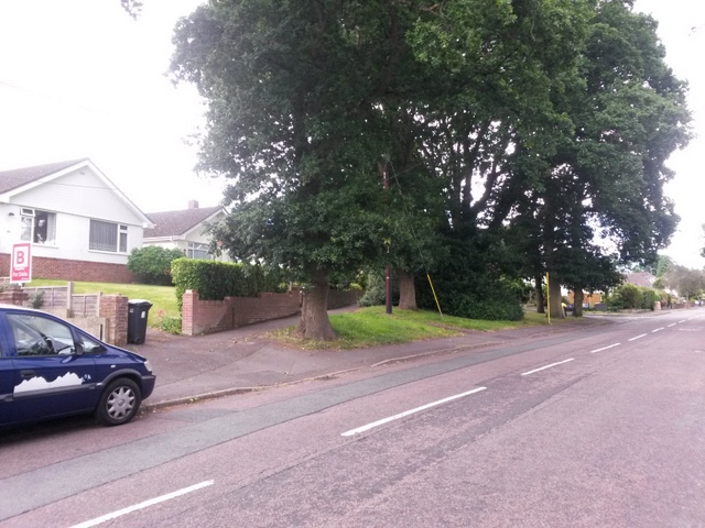
Image: © Chris Downer Taken: 17 Jul 2016
This public footpath is formed by Deepdene Lane, whose junction is in the distance. However, the course of the public right of way includes this path ahead of us, probably the original route of the lane before the junction was reconfigured with modern-day traffic in mind. See Image for the next view on the footpath, and links to further photos along the route.
Images are licensed for reuse under creativecommons.org/licenses/by-sa/2.0
Image Location
Latitude
50.764017
Longitude
-1.925792