West Howe: footpath U14 from Ringwood Road
Introduction
The photograph on this page of West Howe: footpath U14 from Ringwood Road by Chris Downer as part of the Geograph project.
The Geograph project started in 2005 with the aim of publishing, organising and preserving representative images for every square kilometre of Great Britain, Ireland and the Isle of Man.

There are currently over 7.5m images from over 14,400 individuals and you can help contribute to the project by visiting https://www.geograph.org.uk
West Howe: footpath U14 from Ringwood Road
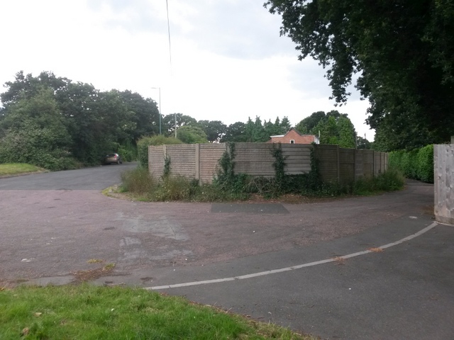
Image: © Chris Downer Taken: 17 Jul 2016
The main A348 Ringwood Road runs just alongside us, out of shot to the left. Parallel to it is a service road, left, which swings almost back on itself to become High Howe Lane. This northern segment of High Howe Lane is public footpath U14 - it forms a short access driveway here, then becomes a non-motorable path, and then opens out into another part of the lane. See Image for the next view along the public footpath, with links to further photos along the route.
Images are licensed for reuse under creativecommons.org/licenses/by-sa/2.0
Image Location
Latitude
50.765094
Longitude
-1.923522