Chapelfield, Skelton
Introduction
The photograph on this page of Chapelfield, Skelton by Oliver Dixon as part of the Geograph project.
The Geograph project started in 2005 with the aim of publishing, organising and preserving representative images for every square kilometre of Great Britain, Ireland and the Isle of Man.

There are currently over 7.5m images from over 14,400 individuals and you can help contribute to the project by visiting https://www.geograph.org.uk
Chapelfield, Skelton
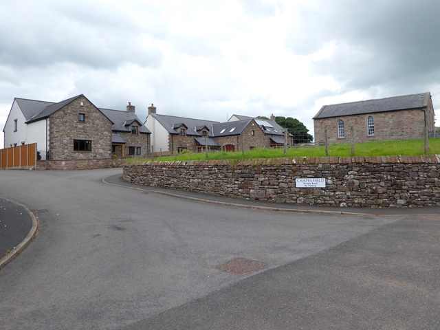
Image: © Oliver Dixon Taken: 21 Jul 2016
A small housing development in the village of Skelton. The Methodist Church (hence the name Chapelfield) is the building to the right.
Images are licensed for reuse under creativecommons.org/licenses/by-sa/2.0
Image Location
Latitude
54.712872
Longitude
-2.875396