Back Lane, Satley
Introduction
The photograph on this page of Back Lane, Satley by Robert Graham as part of the Geograph project.
The Geograph project started in 2005 with the aim of publishing, organising and preserving representative images for every square kilometre of Great Britain, Ireland and the Isle of Man.

There are currently over 7.5m images from over 14,400 individuals and you can help contribute to the project by visiting https://www.geograph.org.uk
Back Lane, Satley
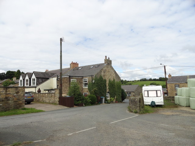
Image: © Robert Graham Taken: 13 Jul 2016
This old lane leads east off the village main street. The building on the corner was once a pub, I believe.
Images are licensed for reuse under creativecommons.org/licenses/by-sa/2.0
Image Location


Leaflet Map data © OpenStreetMap
Latitude
54.785274
Longitude
-1.817264