View down Satley main street
Introduction
The photograph on this page of View down Satley main street by Robert Graham as part of the Geograph project.
The Geograph project started in 2005 with the aim of publishing, organising and preserving representative images for every square kilometre of Great Britain, Ireland and the Isle of Man.

There are currently over 7.5m images from over 14,400 individuals and you can help contribute to the project by visiting https://www.geograph.org.uk
View down Satley main street
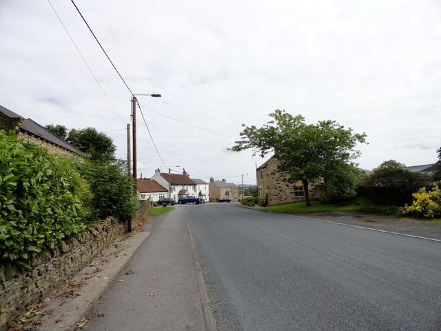
Image: © Robert Graham Taken: 13 Jul 2016
Looking north up the street to the Punch Bowl pub. Satley village is set out in a linear fashion along this street, and this is thought to denote its medieval origins.
Images are licensed for reuse under creativecommons.org/licenses/by-sa/2.0
Image Location
Latitude
54.784557
Longitude
-1.818822