Bridleway on former railway alignment
Introduction
The photograph on this page of Bridleway on former railway alignment by Graham Robson as part of the Geograph project.
The Geograph project started in 2005 with the aim of publishing, organising and preserving representative images for every square kilometre of Great Britain, Ireland and the Isle of Man.

There are currently over 7.5m images from over 14,400 individuals and you can help contribute to the project by visiting https://www.geograph.org.uk
Bridleway on former railway alignment
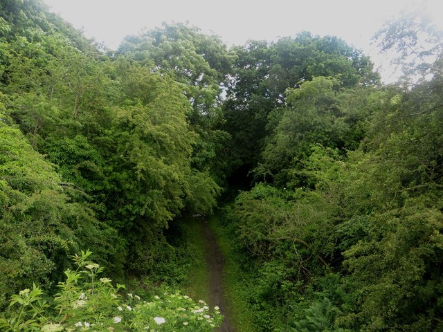
Image: © Graham Robson Taken: 3 Jul 2016
Looking from a bridge down onto a bridleway which follows a former railway alignment to the south of Morpeth.
Images are licensed for reuse under creativecommons.org/licenses/by-sa/2.0
Image Location
Latitude
55.153591
Longitude
-1.710135