The edge of Lenzie
Introduction
The photograph on this page of The edge of Lenzie by Richard Sutcliffe as part of the Geograph project.
The Geograph project started in 2005 with the aim of publishing, organising and preserving representative images for every square kilometre of Great Britain, Ireland and the Isle of Man.

There are currently over 7.5m images from over 14,400 individuals and you can help contribute to the project by visiting https://www.geograph.org.uk
The edge of Lenzie
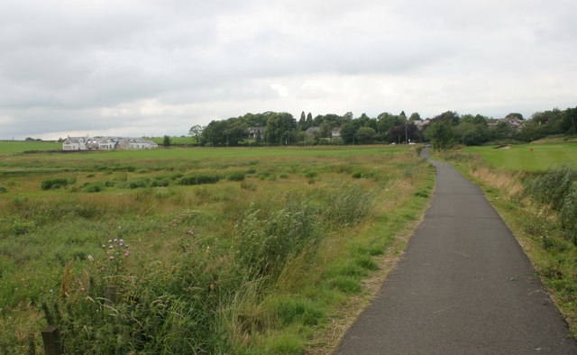
Image: © Richard Sutcliffe Taken: 20 Jul 2016
Houses on Crosshill Road, sitting amongst trees, on the south west edge of Lenzie. Recently built houses on the site of East Gadloch Farm are on the left. To the right of the path is Lenzie Golf Course.
Images are licensed for reuse under creativecommons.org/licenses/by-sa/2.0
Image Location
Latitude
55.915004
Longitude
-4.15514