Stone house in Satley
Introduction
The photograph on this page of Stone house in Satley by Robert Graham as part of the Geograph project.
The Geograph project started in 2005 with the aim of publishing, organising and preserving representative images for every square kilometre of Great Britain, Ireland and the Isle of Man.

There are currently over 7.5m images from over 14,400 individuals and you can help contribute to the project by visiting https://www.geograph.org.uk
Stone house in Satley
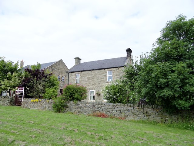
Image: © Robert Graham Taken: 13 Jul 2016
The houses at this southern end of Satley village all appear to be recent ones, apart from this detached stone built one. There is a house in this position on the 1898 Ordnance Survey map marked Satley Villa, which may be this one.
Images are licensed for reuse under creativecommons.org/licenses/by-sa/2.0
Image Location
Latitude
54.782224
Longitude
-1.82132