Bridge abutment for the Waterside Branch railway
Introduction
The photograph on this page of Bridge abutment for the Waterside Branch railway by Raymond Knapman as part of the Geograph project.
The Geograph project started in 2005 with the aim of publishing, organising and preserving representative images for every square kilometre of Great Britain, Ireland and the Isle of Man.

There are currently over 7.5m images from over 14,400 individuals and you can help contribute to the project by visiting https://www.geograph.org.uk
Bridge abutment for the Waterside Branch railway
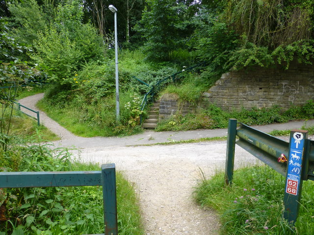
Image: © Raymond Knapman Taken: 21 Jul 2016
The dismantled trackbed is partly used by the Pennine Bridleway. This bridge carried the line over Cottage Lane
Images are licensed for reuse under creativecommons.org/licenses/by-sa/2.0
Image Location
Latitude
53.449691
Longitude
-1.98114