London Countryway in Kent (20)
Introduction
The photograph on this page of London Countryway in Kent (20) by Shazz as part of the Geograph project.
The Geograph project started in 2005 with the aim of publishing, organising and preserving representative images for every square kilometre of Great Britain, Ireland and the Isle of Man.

There are currently over 7.5m images from over 14,400 individuals and you can help contribute to the project by visiting https://www.geograph.org.uk
London Countryway in Kent (20)
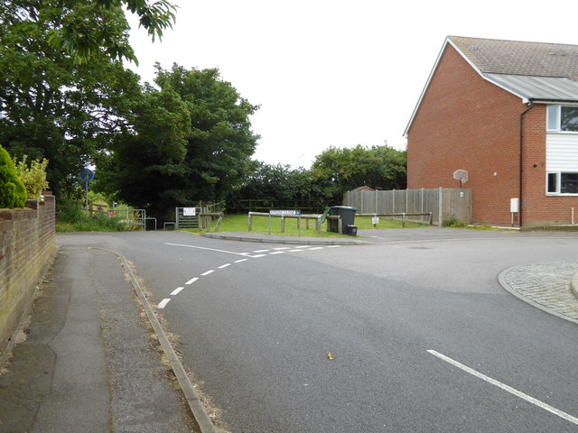
Image: © Shazz Taken: 10 Jul 2016
Instead of going straight ahead over Hever Court Road the walk takes this mysterious detour via Epsom Close and onto the path on the left of the image.
Images are licensed for reuse under creativecommons.org/licenses/by-sa/2.0
Image Location
Latitude
51.411864
Longitude
0.37523