Railway Close
Introduction
The photograph on this page of Railway Close by Michael Dibb as part of the Geograph project.
The Geograph project started in 2005 with the aim of publishing, organising and preserving representative images for every square kilometre of Great Britain, Ireland and the Isle of Man.

There are currently over 7.5m images from over 14,400 individuals and you can help contribute to the project by visiting https://www.geograph.org.uk
Railway Close
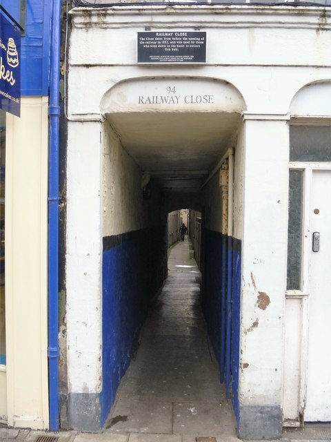
Image: © Michael Dibb Taken: 17 Jun 2016
The plaque above reads 'The close dates from before the opening of the railway in 1883, and was used by those going down to the basin to collect fish bait.'
Images are licensed for reuse under creativecommons.org/licenses/by-sa/2.0
Image Location
Latitude
56.711912
Longitude
-2.468633