Field footpath, Heol Tynewydd
Introduction
The photograph on this page of Field footpath, Heol Tynewydd by M J Roscoe as part of the Geograph project.
The Geograph project started in 2005 with the aim of publishing, organising and preserving representative images for every square kilometre of Great Britain, Ireland and the Isle of Man.

There are currently over 7.5m images from over 14,400 individuals and you can help contribute to the project by visiting https://www.geograph.org.uk
Field footpath, Heol Tynewydd
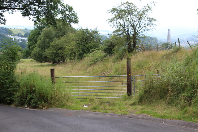
Image: © M J Roscoe Taken: 20 Jul 2016
Start of track and footpath through field near Maes Manor Hotel. The pylon of Chartist Bridge, Blackwood can be seen to the right
Images are licensed for reuse under creativecommons.org/licenses/by-sa/2.0
Image Location
Latitude
51.681727
Longitude
-3.19193