The route of an old Roman Road in Honeybourne
Introduction
The photograph on this page of The route of an old Roman Road in Honeybourne by Philip Halling as part of the Geograph project.
The Geograph project started in 2005 with the aim of publishing, organising and preserving representative images for every square kilometre of Great Britain, Ireland and the Isle of Man.

There are currently over 7.5m images from over 14,400 individuals and you can help contribute to the project by visiting https://www.geograph.org.uk
The route of an old Roman Road in Honeybourne
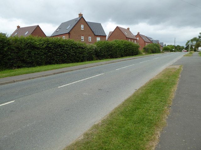
Image: © Philip Halling Taken: 16 Jul 2016
This straight road in Honeybourne follows the route of Ryknild Street, a former Roman Road. The houses behind the hedge are a recent development, built on what was the site of annual sheep sales Image
Images are licensed for reuse under creativecommons.org/licenses/by-sa/2.0
Image Location
Latitude
52.096291
Longitude
-1.831646