Todmorden - Water Street / Dale Street
Introduction
The photograph on this page of Todmorden - Water Street / Dale Street by David Ward as part of the Geograph project.
The Geograph project started in 2005 with the aim of publishing, organising and preserving representative images for every square kilometre of Great Britain, Ireland and the Isle of Man.

There are currently over 7.5m images from over 14,400 individuals and you can help contribute to the project by visiting https://www.geograph.org.uk
Todmorden - Water Street / Dale Street
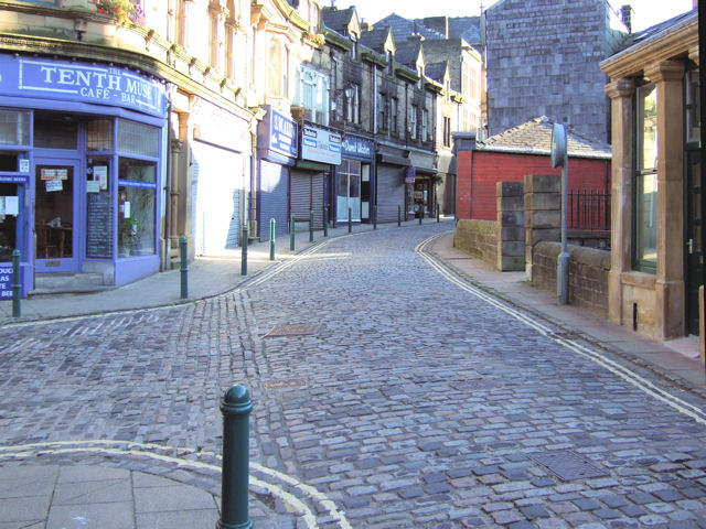
Image: © David Ward Taken: 24 Jul 2007
Cobbled streets - a reminder of times past, and in this case, somewhere to get a decent sandwich and pot of tea!
Images are licensed for reuse under creativecommons.org/licenses/by-sa/2.0
Image Location
Latitude
53.713279
Longitude
-2.097082