Bridle Path and Crop Fields near Swinston Hill Wood
Introduction
The photograph on this page of Bridle Path and Crop Fields near Swinston Hill Wood by Jonathan Clitheroe as part of the Geograph project.
The Geograph project started in 2005 with the aim of publishing, organising and preserving representative images for every square kilometre of Great Britain, Ireland and the Isle of Man.

There are currently over 7.5m images from over 14,400 individuals and you can help contribute to the project by visiting https://www.geograph.org.uk
Bridle Path and Crop Fields near Swinston Hill Wood
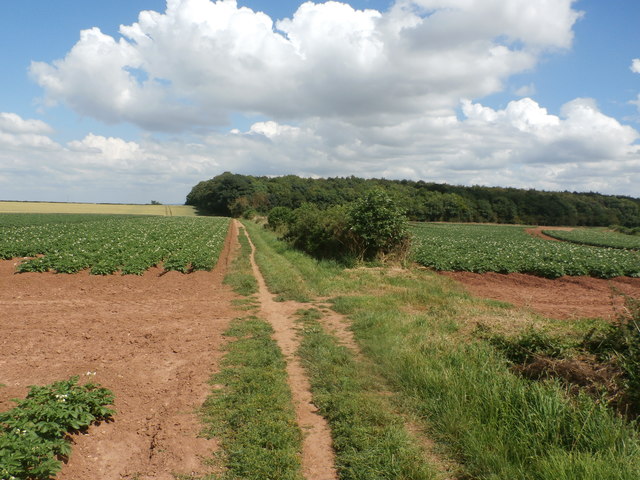
Image: © Jonathan Clitheroe Taken: 18 Jul 2016
Pictured on a very warm afternoon in mid July. Swinston Hill Wood can be seen beyond the potato fields.
Images are licensed for reuse under creativecommons.org/licenses/by-sa/2.0
Image Location
Latitude
53.357297
Longitude
-1.198535