Coal plate, Watergate Lane, Lewes
Introduction
The photograph on this page of Coal plate, Watergate Lane, Lewes by Robin Webster as part of the Geograph project.
The Geograph project started in 2005 with the aim of publishing, organising and preserving representative images for every square kilometre of Great Britain, Ireland and the Isle of Man.

There are currently over 7.5m images from over 14,400 individuals and you can help contribute to the project by visiting https://www.geograph.org.uk
Coal plate, Watergate Lane, Lewes
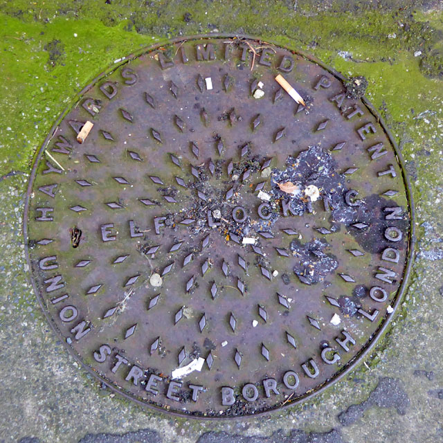
Image: © Robin Webster Taken: 20 Jul 2016
'Haywards Limited Patent Union Street Borough London [S]elf-locking'. Just a pace or two off the High Street is this plate, larger than the normal size. Haywards were very prolific in London, and the large size plate crops up there with fair frequency. Haywards major output was of the standard size, however.
Images are licensed for reuse under creativecommons.org/licenses/by-sa/2.0
Image Location
Latitude
50.872472
Longitude
0.008837