Houses in Upper Tickham
Introduction
The photograph on this page of Houses in Upper Tickham by David Howard as part of the Geograph project.
The Geograph project started in 2005 with the aim of publishing, organising and preserving representative images for every square kilometre of Great Britain, Ireland and the Isle of Man.

There are currently over 7.5m images from over 14,400 individuals and you can help contribute to the project by visiting https://www.geograph.org.uk
Houses in Upper Tickham
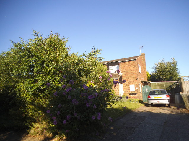
Image: © David Howard Taken: 17 Jul 2016
According to the map these three blocks make up the whole of Upper Tickham
Images are licensed for reuse under creativecommons.org/licenses/by-sa/2.0
Image Location
Latitude
51.31128
Longitude
0.807568