Heading Up Loch Long
Introduction
The photograph on this page of Heading Up Loch Long by James T M Towill as part of the Geograph project.
The Geograph project started in 2005 with the aim of publishing, organising and preserving representative images for every square kilometre of Great Britain, Ireland and the Isle of Man.

There are currently over 7.5m images from over 14,400 individuals and you can help contribute to the project by visiting https://www.geograph.org.uk
Heading Up Loch Long
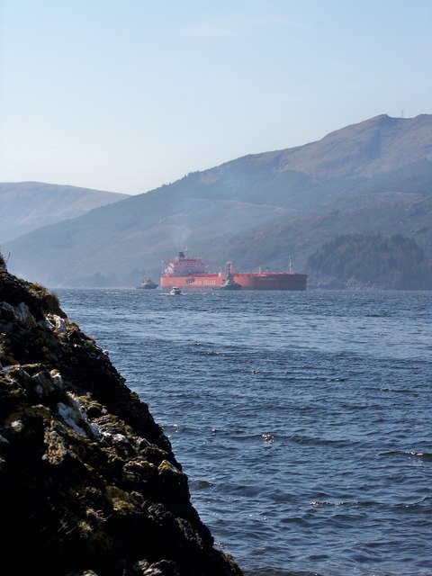
Image: © James T M Towill Taken: 12 Apr 2010
An oil tanker (the MT Aegean Harmony) is heading north up Loch Long with tug assistance, shortly to pass the mouth of Loch Goil. The vessel is bound for Finart Ocean Terminal.
Images are licensed for reuse under creativecommons.org/licenses/by-sa/2.0
Image Location
Latitude
56.097727
Longitude
-4.850183