Strouden: Yeomans Road heads for Throop
Introduction
The photograph on this page of Strouden: Yeomans Road heads for Throop by Chris Downer as part of the Geograph project.
The Geograph project started in 2005 with the aim of publishing, organising and preserving representative images for every square kilometre of Great Britain, Ireland and the Isle of Man.

There are currently over 7.5m images from over 14,400 individuals and you can help contribute to the project by visiting https://www.geograph.org.uk
Strouden: Yeomans Road heads for Throop
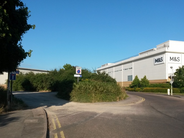
Image: © Chris Downer Taken: 20 Jul 2016
Yeomans Road is one of the original tracks in the Throop area. Today, the southern segment is one of the main roads onto the modern housing estate, but its northern section is still a gravel road. The gravel section forms a public right of way - a byway open to all traffic (or B.O.A.T.) number K21 - and this is the view from the fringe of the modern development. To the right is the back of the Castlepoint shopping centre, with Yeomans Way leading to an industrial estate behind it. See Image for a wider view across the roundabout just to our right, and Image for the view towards us from along the gravel road - and links to further photos along the route.
Images are licensed for reuse under creativecommons.org/licenses/by-sa/2.0
Image Location
Latitude
50.754493
Longitude
-1.843444