The Main House, Old Sussex Stud
Introduction
The photograph on this page of The Main House, Old Sussex Stud by Simon Carey as part of the Geograph project.
The Geograph project started in 2005 with the aim of publishing, organising and preserving representative images for every square kilometre of Great Britain, Ireland and the Isle of Man.

There are currently over 7.5m images from over 14,400 individuals and you can help contribute to the project by visiting https://www.geograph.org.uk
The Main House, Old Sussex Stud
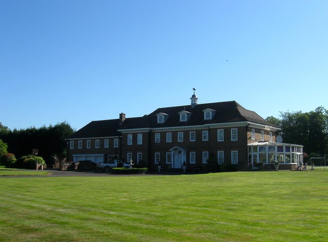
Image: © Simon Carey Taken: 19 Jul 2016
Despite the looks the house was built in either the 1960s or 70s. It occupies the north west corner of what was Cow Hovel Field, according to West Grinstead's 1841 tithe map.
Images are licensed for reuse under creativecommons.org/licenses/by-sa/2.0
Image Location
Latitude
50.988341
Longitude
-0.33654