Kippings Field (1)
Introduction
The photograph on this page of Kippings Field (1) by Simon Carey as part of the Geograph project.
The Geograph project started in 2005 with the aim of publishing, organising and preserving representative images for every square kilometre of Great Britain, Ireland and the Isle of Man.

There are currently over 7.5m images from over 14,400 individuals and you can help contribute to the project by visiting https://www.geograph.org.uk
Kippings Field (1)
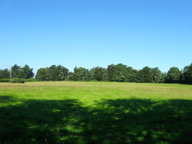
Image: © Simon Carey Taken: 19 Jul 2016
The name of the field according to West Grinstead's 1841 tithe map. The field has now been split into two separate sections by the construction of Image sometime between the wars. This is the western part bounded by the A272 to the north, the A24 to the west and Image to the south. See Image for the eastern part.
Images are licensed for reuse under creativecommons.org/licenses/by-sa/2.0
Image Location
Latitude
50.990898
Longitude
-0.339299