Wareham Walls
Introduction
The photograph on this page of Wareham Walls by Richard Croft as part of the Geograph project.
The Geograph project started in 2005 with the aim of publishing, organising and preserving representative images for every square kilometre of Great Britain, Ireland and the Isle of Man.

There are currently over 7.5m images from over 14,400 individuals and you can help contribute to the project by visiting https://www.geograph.org.uk
Wareham Walls
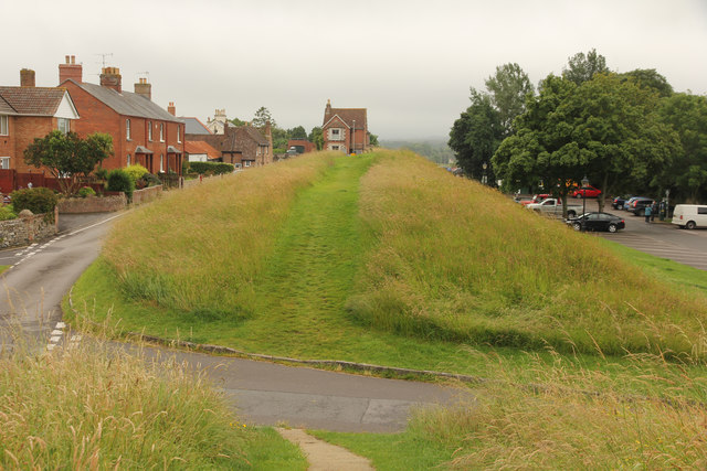
Image: © Richard Croft Taken: 10 Jul 2016
View from Bloody Bank along the west bank of Wareham town walls, part of the Saxon defensive ramparts erected in the 9th century by Alfred the Great.
Images are licensed for reuse under creativecommons.org/licenses/by-sa/2.0
Image Location
Latitude
50.685478
Longitude
-2.114181