Pump, The Heath, Layer de la Haye
Introduction
The photograph on this page of Pump, The Heath, Layer de la Haye by Robin Webster as part of the Geograph project.
The Geograph project started in 2005 with the aim of publishing, organising and preserving representative images for every square kilometre of Great Britain, Ireland and the Isle of Man.

There are currently over 7.5m images from over 14,400 individuals and you can help contribute to the project by visiting https://www.geograph.org.uk
Pump, The Heath, Layer de la Haye
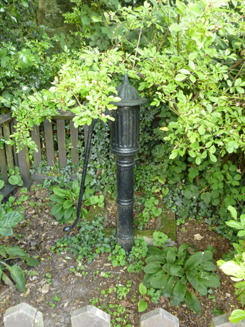
Image: © Robin Webster Taken: 16 Jul 2016
Of uncertain age, but certainly in the right place, as the spot was mapped as a well up to the 1950s, after which it was ignored, apart from, in later maps, the small enclosure. Oddly, the spout points away from the track.
Images are licensed for reuse under creativecommons.org/licenses/by-sa/2.0
Image Location
Latitude
51.849392
Longitude
0.859245