Muscliff: crossing Ashurst Road on footpath K24
Introduction
The photograph on this page of Muscliff: crossing Ashurst Road on footpath K24 by Chris Downer as part of the Geograph project.
The Geograph project started in 2005 with the aim of publishing, organising and preserving representative images for every square kilometre of Great Britain, Ireland and the Isle of Man.

There are currently over 7.5m images from over 14,400 individuals and you can help contribute to the project by visiting https://www.geograph.org.uk
Muscliff: crossing Ashurst Road on footpath K24
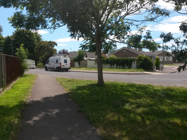
Image: © Chris Downer Taken: 16 Jul 2016
This public footpath is a historical route, known as Barrowgate Road, which long pre-dates the 1980s Muscliff housing estate. Despite now running between the back gardens of houses on the estate, it retains its rural feel. It can be seen here crossing Ashurst Road, with the dead-straight course beyond the white van continuing from behind us. See Image for the next view on the path ahead, and Image for the next view behind us - each with links to further photos all along the route.
Images are licensed for reuse under creativecommons.org/licenses/by-sa/2.0
Image Location
Latitude
50.758101
Longitude
-1.851655