Muscliff: Barrowgate Road meets Careys Road
Introduction
The photograph on this page of Muscliff: Barrowgate Road meets Careys Road by Chris Downer as part of the Geograph project.
The Geograph project started in 2005 with the aim of publishing, organising and preserving representative images for every square kilometre of Great Britain, Ireland and the Isle of Man.

There are currently over 7.5m images from over 14,400 individuals and you can help contribute to the project by visiting https://www.geograph.org.uk
Muscliff: Barrowgate Road meets Careys Road
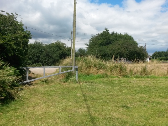
Image: © Chris Downer Taken: 16 Jul 2016
This historical public footpath in Muscliff arrives on the more major Careys Road, a byway open to all traffic. It is seen off to the right from Careys Road here: Image and seen heading towards us across the modern gate here Image Behind us, it continues between the back gardens of houses on a large modern estate, and yet has been allowed to retain its rural feel. See Image for the next view along the path behind us, with links to further photos along the route.
Images are licensed for reuse under creativecommons.org/licenses/by-sa/2.0
Image Location
Latitude
50.759538
Longitude
-1.850374