Throop: Mill Road (North) approaches Careys Road
Introduction
The photograph on this page of Throop: Mill Road (North) approaches Careys Road by Chris Downer as part of the Geograph project.
The Geograph project started in 2005 with the aim of publishing, organising and preserving representative images for every square kilometre of Great Britain, Ireland and the Isle of Man.

There are currently over 7.5m images from over 14,400 individuals and you can help contribute to the project by visiting https://www.geograph.org.uk
Throop: Mill Road (North) approaches Careys Road
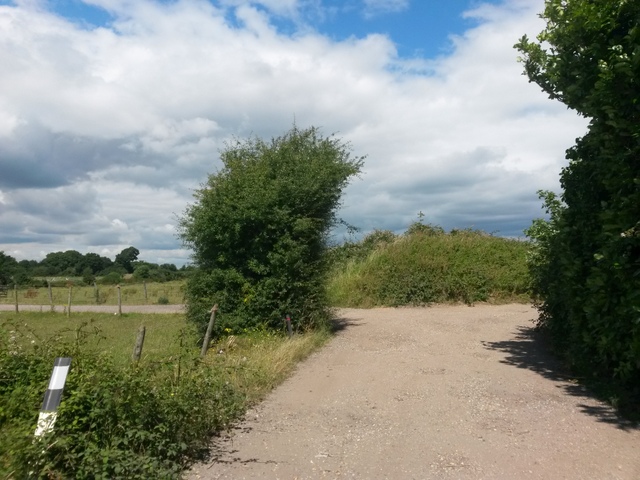
Image: © Chris Downer Taken: 16 Jul 2016
We are approaching a quick double-bend in Mill Road (North), which forms byway open to all traffic (or B.O.A.T.) number K22 - it used to extend along Mill Road (South) to Castle Lane before the latter segment was incorporated into the modern housing estate as part of the public highway. It is only in recent years that signage omits the brackets from around the word North. At the bend, another B.O.A.T., Careys Road, comes out from the left and provides a route along to Muscliff Lane. See: Image for the next view along Mill Road, ahead; Image for the next view along Mill Road, behind us; and Image for the next view along Careys Road, left.
Images are licensed for reuse under creativecommons.org/licenses/by-sa/2.0
Image Location


Leaflet Map data © OpenStreetMap
Latitude
50.758182
Longitude
-1.845275