Throop: allotments in Careys Road
Introduction
The photograph on this page of Throop: allotments in Careys Road by Chris Downer as part of the Geograph project.
The Geograph project started in 2005 with the aim of publishing, organising and preserving representative images for every square kilometre of Great Britain, Ireland and the Isle of Man.

There are currently over 7.5m images from over 14,400 individuals and you can help contribute to the project by visiting https://www.geograph.org.uk
Throop: allotments in Careys Road
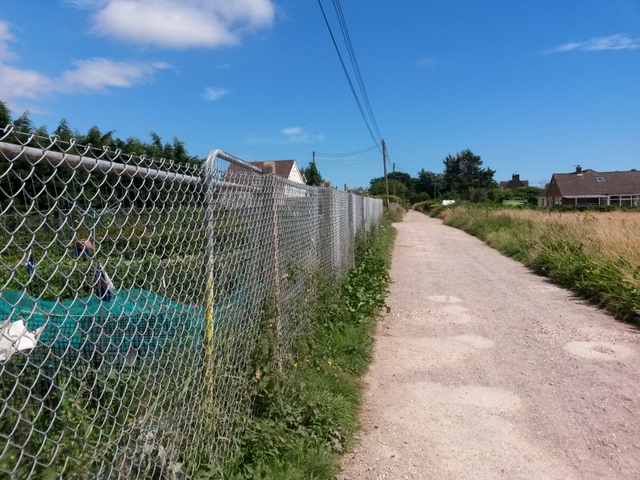
Image: © Chris Downer Taken: 16 Jul 2016
We are looking along Careys Road, which forms byway open to all traffic (or B.O.A.T.) number K25. The chain-link fence is not conducive to good photography but we can nevertheless just see a shirtless man tending to his plants in this small allotment area. See Image for the next view on the road ahead, and Image for a view behind us.
Images are licensed for reuse under creativecommons.org/licenses/by-sa/2.0
Image Location
Latitude
50.759267
Longitude
-1.849099