Westbourne: from Bournemouth into Poole on footpath A05
Introduction
The photograph on this page of Westbourne: from Bournemouth into Poole on footpath A05 by Chris Downer as part of the Geograph project.
The Geograph project started in 2005 with the aim of publishing, organising and preserving representative images for every square kilometre of Great Britain, Ireland and the Isle of Man.

There are currently over 7.5m images from over 14,400 individuals and you can help contribute to the project by visiting https://www.geograph.org.uk
Westbourne: from Bournemouth into Poole on footpath A05
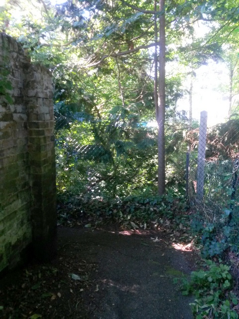
Image: © Chris Downer Taken: 19 Jul 2016
This public footpath runs very close indeed to the boundary between Bournemouth and Poole - the brick wall on the left forms the boundary. This segment is marked on Bournemouth Borough's definitive rights of way map as footpath A05, but it also seems to be mapped as part of Poole footpath 63. The path turns left here, to run behind the back gardens of the houses, while the boundary continues in a straight line. This is thus the crossing point from Bournemouth into Poole, and Poole path 63 continues into Branksome Dene Chine. See Image for a view along the path from further behind us, and Image for the opposite view, from Poole into Bournemouth.
Images are licensed for reuse under creativecommons.org/licenses/by-sa/2.0
Image Location
Latitude
50.710493
Longitude
-1.902083