View towards High Billinge
Introduction
The photograph on this page of View towards High Billinge by Jeff Buck as part of the Geograph project.
The Geograph project started in 2005 with the aim of publishing, organising and preserving representative images for every square kilometre of Great Britain, Ireland and the Isle of Man.

There are currently over 7.5m images from over 14,400 individuals and you can help contribute to the project by visiting https://www.geograph.org.uk
View towards High Billinge
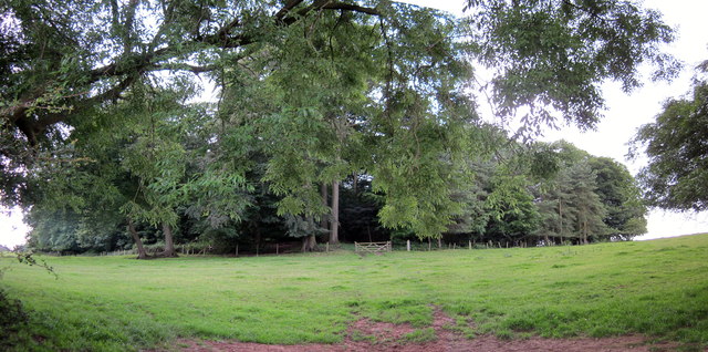
Image: © Jeff Buck Taken: 6 Jul 2016
High Billinge seen from Quarry Bank. On top of the hill in the copse is High Billinge round barrow (tumulus on the OS map).
Images are licensed for reuse under creativecommons.org/licenses/by-sa/2.0
Image Location
Latitude
53.191281
Longitude
-2.668074