Ponds on land fill site
Introduction
The photograph on this page of Ponds on land fill site by Robin Webster as part of the Geograph project.
The Geograph project started in 2005 with the aim of publishing, organising and preserving representative images for every square kilometre of Great Britain, Ireland and the Isle of Man.

There are currently over 7.5m images from over 14,400 individuals and you can help contribute to the project by visiting https://www.geograph.org.uk
Ponds on land fill site
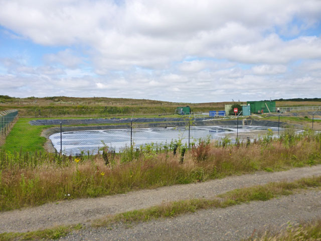
Image: © Robin Webster Taken: 16 Jul 2016
One of four ponds here with circulating water, presumably something to do with clean up of the drainage water leaving the site.
Images are licensed for reuse under creativecommons.org/licenses/by-sa/2.0
Image Location
Latitude
51.871246
Longitude
0.825762