A1(M) at St. Ann's Cross
Introduction
The photograph on this page of A1(M) at St. Ann's Cross by Matthew Hatton as part of the Geograph project.
The Geograph project started in 2005 with the aim of publishing, organising and preserving representative images for every square kilometre of Great Britain, Ireland and the Isle of Man.

There are currently over 7.5m images from over 14,400 individuals and you can help contribute to the project by visiting https://www.geograph.org.uk
A1(M) at St. Ann's Cross
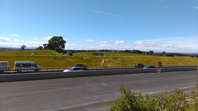
Image: © Matthew Hatton Taken: 16 Jul 2016
The traffic is now even further away than it was when Oliver Dixon geographed this area in 2005. The new A1(M) carriageway improvements are still on going, but there is now no access to it from Holtby Grange.
Images are licensed for reuse under creativecommons.org/licenses/by-sa/2.0
Image Location
Latitude
54.335657
Longitude
-1.593647