Rural crossroads at The Lymes on the A53
Introduction
The photograph on this page of Rural crossroads at The Lymes on the A53 by Jonathan Hutchins as part of the Geograph project.
The Geograph project started in 2005 with the aim of publishing, organising and preserving representative images for every square kilometre of Great Britain, Ireland and the Isle of Man.

There are currently over 7.5m images from over 14,400 individuals and you can help contribute to the project by visiting https://www.geograph.org.uk
Rural crossroads at The Lymes on the A53
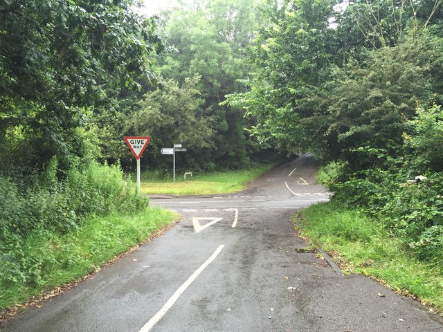
Image: © Jonathan Hutchins Taken: 16 Jul 2016
Looking from Butterton Lane across the A53 Whitmore Road to Lymes Road. The latter is a BOAT which eventually leads NW to Keele village.
Images are licensed for reuse under creativecommons.org/licenses/by-sa/2.0
Image Location
Latitude
52.976047
Longitude
-2.263699