Seine Lane crosses the former Enderby Branch Railway beyond the northern end of Whistle Way
Introduction
The photograph on this page of Seine Lane crosses the former Enderby Branch Railway beyond the northern end of Whistle Way by Tim Glover as part of the Geograph project.
The Geograph project started in 2005 with the aim of publishing, organising and preserving representative images for every square kilometre of Great Britain, Ireland and the Isle of Man.

There are currently over 7.5m images from over 14,400 individuals and you can help contribute to the project by visiting https://www.geograph.org.uk
Seine Lane crosses the former Enderby Branch Railway beyond the northern end of Whistle Way
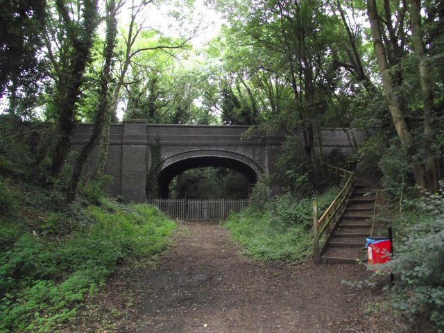
Image: © Tim Glover Taken: 15 Jul 2016
Whistle Way is a path and cycle way built on the trackbed of the former LNWR branch to serve the quarries at Enderby.
Images are licensed for reuse under creativecommons.org/licenses/by-sa/2.0
Image Location
Latitude
52.590898
Longitude
-1.218048