Wallisdown: footpath U18 approaches footpath U16
Introduction
The photograph on this page of Wallisdown: footpath U18 approaches footpath U16 by Chris Downer as part of the Geograph project.
The Geograph project started in 2005 with the aim of publishing, organising and preserving representative images for every square kilometre of Great Britain, Ireland and the Isle of Man.

There are currently over 7.5m images from over 14,400 individuals and you can help contribute to the project by visiting https://www.geograph.org.uk
Wallisdown: footpath U18 approaches footpath U16
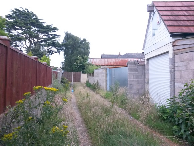
Image: © Chris Downer Taken: 12 Jul 2016
This public footpath, essentially a rear garage driveway for houses in Walliscott Road and Canford Avenue, approaches its eastern end, where it meets another public footpath, number U16. The latter heads the short distance left to Canford Avneue, or the longer route right to Walliscott, Hawden and Bascott Roads. See Image for the next view behind us on path U18, and Image for the view on path U16 as it passes this one. Each has links to further photos along the routes.
Images are licensed for reuse under creativecommons.org/licenses/by-sa/2.0
Image Location
Latitude
50.749439
Longitude
-1.91164