Wallisdown: footpath U18 from Sunnymoor Road
Introduction
The photograph on this page of Wallisdown: footpath U18 from Sunnymoor Road by Chris Downer as part of the Geograph project.
The Geograph project started in 2005 with the aim of publishing, organising and preserving representative images for every square kilometre of Great Britain, Ireland and the Isle of Man.

There are currently over 7.5m images from over 14,400 individuals and you can help contribute to the project by visiting https://www.geograph.org.uk
Wallisdown: footpath U18 from Sunnymoor Road
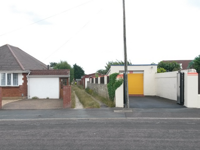
Image: © Chris Downer Taken: 12 Jul 2016
This public footpath takes the course of a rear garage driveway - track might be a better description, being a gravel drive with grass growing down the middle. It doesn't really offer much of a short-cut compared with walking along Canford Avenue to the left or Walliscott Road to the right, but it comes out on another footpath, number U16, which connects various nearby roads. See Image for the view towards us from along the driveway, and links to further pictures on the route.
Images are licensed for reuse under creativecommons.org/licenses/by-sa/2.0
Image Location
Latitude
50.749619
Longitude
-1.912774