West Howe: cemetery gates and the start of footpath E56
Introduction
The photograph on this page of West Howe: cemetery gates and the start of footpath E56 by Chris Downer as part of the Geograph project.
The Geograph project started in 2005 with the aim of publishing, organising and preserving representative images for every square kilometre of Great Britain, Ireland and the Isle of Man.

There are currently over 7.5m images from over 14,400 individuals and you can help contribute to the project by visiting https://www.geograph.org.uk
West Howe: cemetery gates and the start of footpath E56
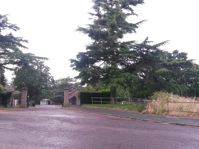
Image: © Chris Downer Taken: 12 Jul 2016
Looking across South Kinson Drive towards the Image, and also at the start of a public footpath down to Kinson Common, between the railings to the right. See Image for a closer view of the start of the footpath, with links to further pictures along the route.
Images are licensed for reuse under creativecommons.org/licenses/by-sa/2.0
Image Location
Latitude
50.760672
Longitude
-1.902829