West Howe: footpaths U01 and U02 meet
Introduction
The photograph on this page of West Howe: footpaths U01 and U02 meet by Chris Downer as part of the Geograph project.
The Geograph project started in 2005 with the aim of publishing, organising and preserving representative images for every square kilometre of Great Britain, Ireland and the Isle of Man.

There are currently over 7.5m images from over 14,400 individuals and you can help contribute to the project by visiting https://www.geograph.org.uk
West Howe: footpaths U01 and U02 meet
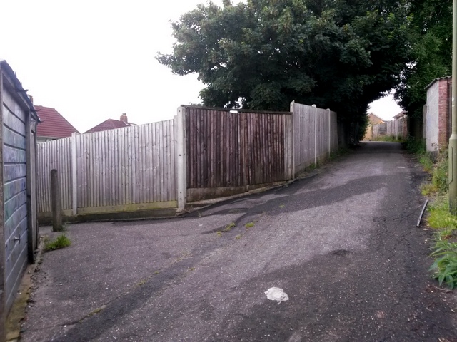
Image: © Chris Downer Taken: 12 Jul 2016
Looking along the rear garage driveway between Turbary Park Avenue (right) and Maclean Road. Public footpath U01 comes up the alleyway from Maclean Road (left), and goes along the driveway behind us to take a similar offshoot path to Turbary Park Avenue. Meanwhile, the driveway ahead forms the start of footpath U02, which likewise turns right onto Turbary Park Avenue. See: Image for a view down the alley to the left; Image for the next view along the driveway behind us; and Image for the view towards us on path U02 ahead. Each link has further links to photos along the route.
Images are licensed for reuse under creativecommons.org/licenses/by-sa/2.0
Image Location


Leaflet Map data © OpenStreetMap
Latitude
50.755559
Longitude
-1.918575