West Howe: footpath U01 meets the rear driveway
Introduction
The photograph on this page of West Howe: footpath U01 meets the rear driveway by Chris Downer as part of the Geograph project.
The Geograph project started in 2005 with the aim of publishing, organising and preserving representative images for every square kilometre of Great Britain, Ireland and the Isle of Man.

There are currently over 7.5m images from over 14,400 individuals and you can help contribute to the project by visiting https://www.geograph.org.uk
West Howe: footpath U01 meets the rear driveway
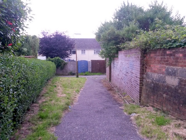
Image: © Chris Downer Taken: 12 Jul 2016
Looking along this public footpath from Turbary Park Avenue as it approaches a rear garage driveway. The route of the footpath turns to the right, heading for Maclean Road. See Image for the next view along the path ahead, with links to further photos on the route, and Image for the view behind us from here.
Images are licensed for reuse under creativecommons.org/licenses/by-sa/2.0
Image Location
Latitude
50.755918
Longitude
-1.918717