Lane at Manworthy Mill
Introduction
The photograph on this page of Lane at Manworthy Mill by Derek Harper as part of the Geograph project.
The Geograph project started in 2005 with the aim of publishing, organising and preserving representative images for every square kilometre of Great Britain, Ireland and the Isle of Man.

There are currently over 7.5m images from over 14,400 individuals and you can help contribute to the project by visiting https://www.geograph.org.uk
Lane at Manworthy Mill
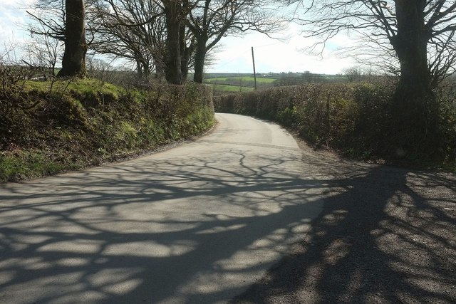
Image: © Derek Harper Taken: 23 Apr 2016
Looking in the opposite direction to Image], into the sun. The parishes have changed sides, therefore; Holsworthy Hamlets is now on the right and Holsworthy on the left.
Images are licensed for reuse under creativecommons.org/licenses/by-sa/2.0
Image Location
Latitude
50.821687
Longitude
-4.361942