Westbourne: western end of footpath A01
Introduction
The photograph on this page of Westbourne: western end of footpath A01 by Chris Downer as part of the Geograph project.
The Geograph project started in 2005 with the aim of publishing, organising and preserving representative images for every square kilometre of Great Britain, Ireland and the Isle of Man.

There are currently over 7.5m images from over 14,400 individuals and you can help contribute to the project by visiting https://www.geograph.org.uk
Westbourne: western end of footpath A01
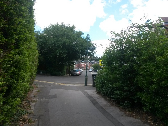
Image: © Chris Downer Taken: 14 Jul 2016
This public footpath descends out of Alum Chine and emerges here at Warren Road (ahead) and Drury Road (left). See Image for the view down the path from across the road, and Image for the next view down the path behind us, and links to further photos on the route.
Images are licensed for reuse under creativecommons.org/licenses/by-sa/2.0
Image Location
Latitude
50.717419
Longitude
-1.903768